We protect Western Colorado’s public lands.
This generally means from the Continental Divide (east) west through the Colorado River Valley into the Grand Valley (west) and from the North Fork Valley (south) to the Flat Tops and the northern portion of the White River National Forest (north). We work closely with other organizations at the local, state, and national levels throughout this geography and on its edges where our boundaries are less defined.
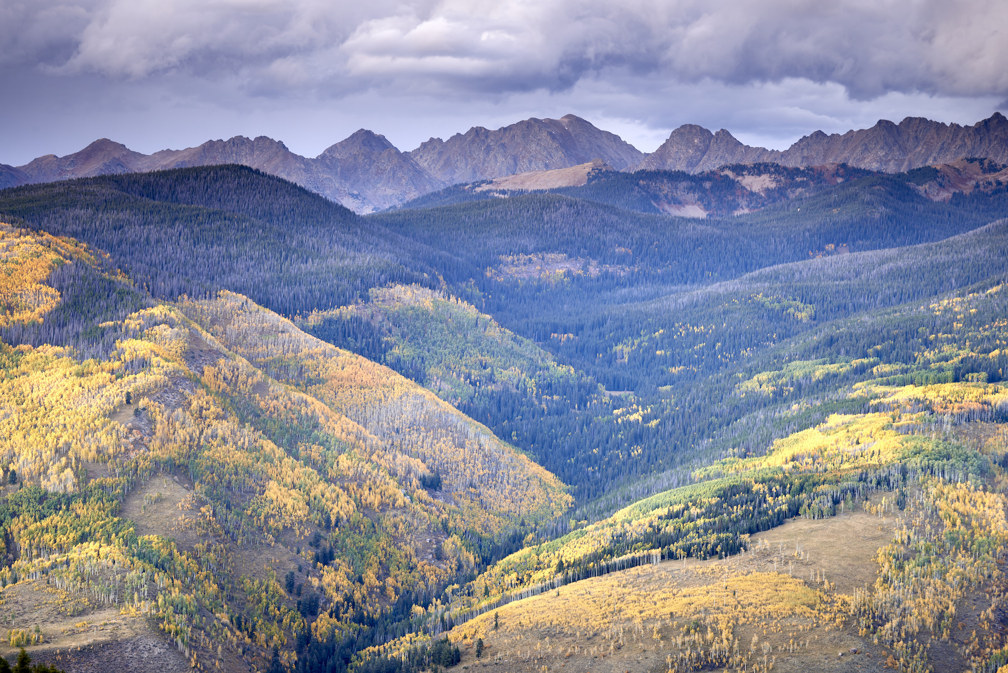
The Spraddle Creek Area, near Vail, which would be protected as past of the CORE Act. Photo courtesy Jon Mullen/Ecostock.
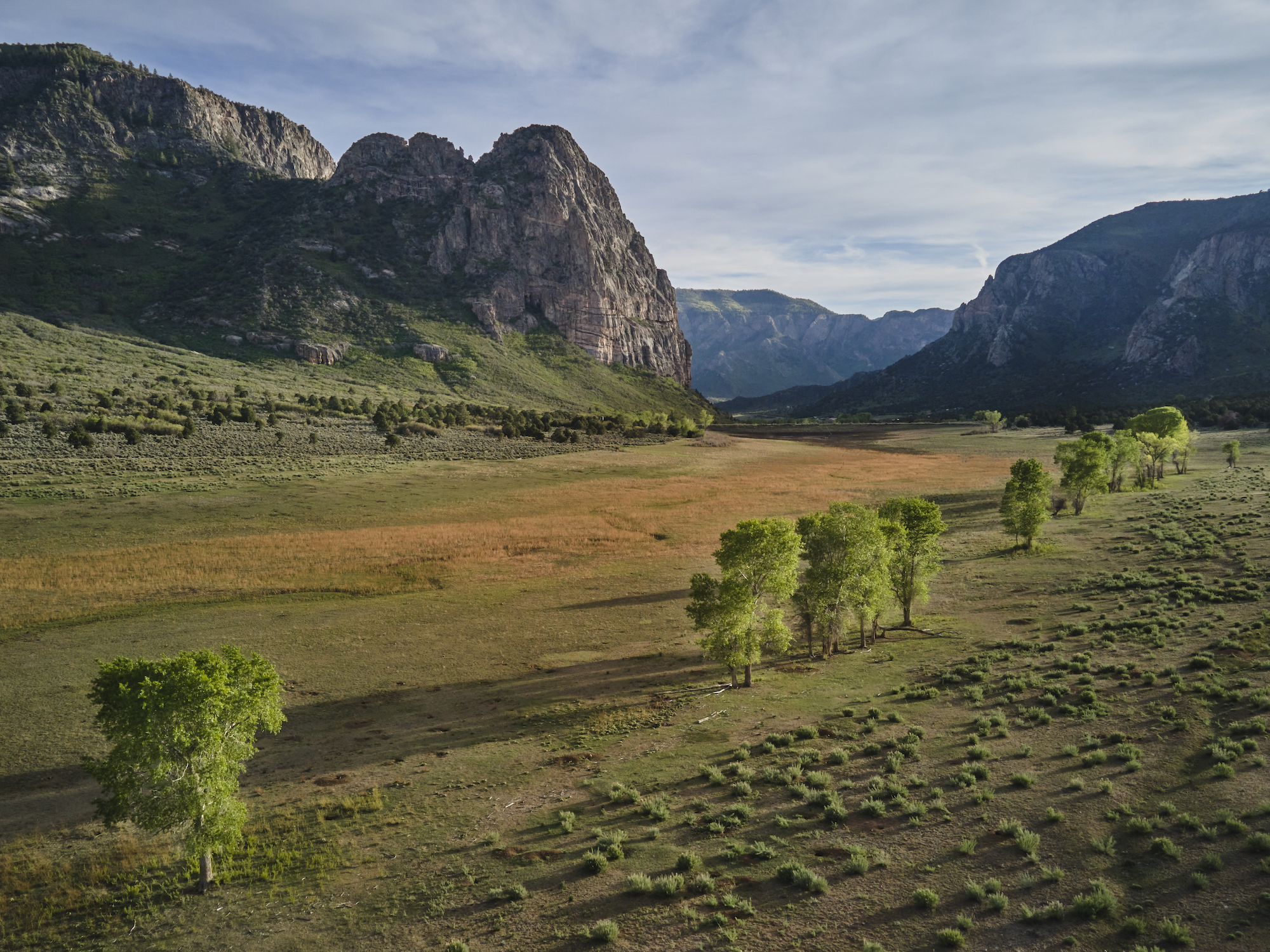
Thimble Rock and Thimble Rock Point in the Unaweep Canyon. Photo courtesy Jon Mullen/Ecostock.
Our focus is on federal public lands – in our geography, these are managed by the US Forest Service and the Bureau of Land Management (BLM). Specific administrative units include the White River National Forest, the Gunnison National Forest (administered jointly with the Grand Mesa and Uncompaghre National Forests as the GMUG), and the Colorado River Valley, Grand Junction, and Uncompahgre Field Offices of the BLM. While we may occasionally engage with other National Forests, BLM Field Offices, or entities (federal agencies, state agencies, or local municipalities) they are not our primary focus.
Learn More About…
Roaring Fork Valley | Thompson Divide | Homestake Valley | Roan Plateau
North Fork of the Gunnison | Crystal River Valley | Colorado River Valley